| Research |
| Location:Home > Research > Research Divisions |
| Laboratory of Coastal Information Integration and Management |
Introduction Set up in 2008, the Laboratory of Coastal Information Integration and Application (LCIIA-YIC) consists of fourteen full-time members and four part-time members with different research backgrounds that related to coastal science such as ocean remote sensing, physical oceanography, geographic information system, hydrology, ecology etc. The research area of LCIIA-YIC now mainly focuses on two fields, the first one is the coastal resource and environment change monitoring and prediction by integration of space-based earth observation data, ground-based observation data and field experiment data based on Remote Sensing (RS) , Geographic Information System (GIS) and Global Positioning System (GPS) technologies. The second one is the coastal sustainable development study, which will put emphasis on coastal Land Use and Land Cover Change (LUCC), Urbanization, Integrated Coastal Zone Management (ICZM) and so on. Both these two fields aim to promote sustainable development in coastal zone and give services to the related administration sections of local governments and communities for decision-making.
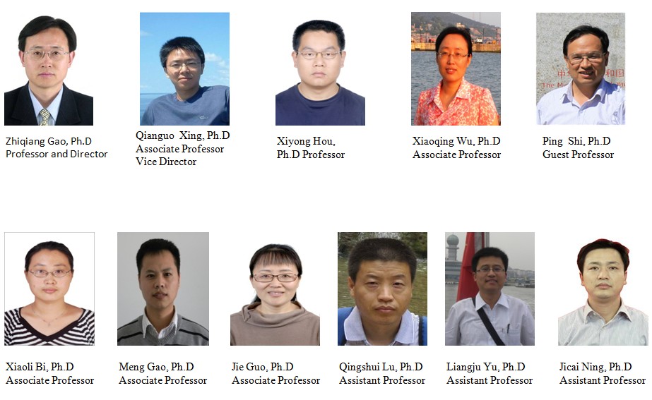
Research Topics: 1. Environmental Remote Sensing in coastal zone 2. Coastal integrated monitoring systems and e-Coastal Science 3. Coastal water Environmental monitoring & numerical modeling 4. Coastal Land Use and Land Cover Changes (LUCC) 5. Urban growth modeling and its environmental impact assessment in coastal zone 6. Integrated Coastal Zone Management (ICZM) 7. Landscape Ecology and Eco-Security in coastal zone Research Projects: 1. Efforts of Land Use Changes on Inshore Land-based Non-Point Source Pollution in Jiaodong Peninsula ,Supported by the National Natural Science Foundation of China, No.40801016) 2. Monitoring, evaluation and management of coastal zone ecosystem and environment based on remote sensing and GIS (Supported by the Knowledge Innovation Program of the Chinese Academy of Sciences, No.kzcx2-yw-224) 3. Research on technologies of functional zone in natural reserve of terrestrial ecosystems-Key projects in the national science & technology pillar program in the eleventh five-year plan period 4. Research on coastal aerosol retrieval form remote sensing based on grid computing technology, Supported by the National Natural Science Foundation of China, No. 40801124) 5. Data oriented novel SVM development for remote sensing intelligent information extraction, Supported by The Chinese Academy of Sciences (CAS) 6. Study on optimization mode of urban spatial development based on non-point source pollution control: a case of Yantai in China, Supported by the National Natural Science Foundation of China, No.30800149) Selected Publications 1. BI Xiao-Li; WANG Hui; ZHOU Rui; HONG Jun; SUO An-Ning; GE Jian-Ping. 2006. Analysis on the livestock capability of the Jinghe River basin on the Loess Plateau. ACTA ECOLOGICA SINICA, 26(12):4219-4224 2. BI Xiao-Li; ZHOU Rui; LIU Li-Juan; HONG Jun; WANG Xi-Zhi; SUO An-Ning; GE Jian-Ping. 2005.Gradient variations in landscape pattern along the Jinghe River and their driving forces. ACTA ECOLOGICA SINICA, 25(5):2400-2407 3. Hao J. J., Y. L. Chen, J. Q. Feng and F. Wang, 2009. Reconstruction of vertical thermal structure from several subsurface temperatures in the China Seas and adjacent waters. Chinese Journal of Oceanology and Limnology, in press. 4. Hao Jiajia,Chen Yongli and Wang Fan,2008. A study of thermocline calculations in the China Sea. Marine Sciences, 32 (12):17-24(in Chinese with English abstract). 5. Hou Xiyong, Chang Bin, Yu Xinfang. Land use change in Hexi corridor based on CA-Markov methods. Transactions of the CSA E, 2004, 20(5):286-291. 6. HOU Xi-yong. Temporal and spatial dynamics of climatic potential productivity in China from 1951 to 2000. Arid Land Geography, 2008, 31(5): 723-730. 7. Jiakui Tang, Yong Xue, Tong Yu, Yanning Guan, 2005, Aerosol Optical Thickness Determination by Exploiting the Synergy of TERRA and AQUA MODIS (SYNTAM), Remote Sensing of Environment,94,327-334 8. Jiakui Tang, Yong Xue, Tong Yu, Yanning Guan, Guoyin Cai & Yincui, Hu, 2006, Aerosol Optical Thickness Determination for Land Surface from MODIS data., Science in China Series D-Earth Sciences,Vol.49,No. 6, pp.641-649 9. KANG Ling-yan, LEI Yu-ping, et al. Experimental Study on Water Dynamics of the Deep Soil Layer in Irrigation Field, Research of Soil and Water Conservation, 2007, 06. 10. KANG Ling-yan, LEI Yu-ping, et al.Vegetation Classification Based on MODIS Data and the Accuracy Evaluation in the Pixel Scale, Remote Sensing Technology and Application, 2007, 03. 11. Lu Qingshui,Zhaozhiping.2008.Eco-immigration Policy for the degraded rangeland and its Responses of Herd family in the Source Region of Yellow River-Case Study based on Household Investigation in Maduo County, Progress in Geography,2008(3) . 12. Luqingshui, Huanglin, Lu Ning.2009. Degraded Grassland Patterns of Eastern Eight Counties, Source Region of Three Rivers, Qinghai Province. Journal of natural resources. 24(2):259-266. 13. Meng Gao, Honghua Shi, Zizhen Li, A planktonic resource–consumer model with a temporal delay in nutrient recycling. Journal of Mathematical Analysis and Applications, 339(2008)511-516 14. Meng Gao, Zizhen Li , Huawei Dai Effects on spectral color of a spatially-structured population: Environmental noise, dispersal, spatial heterogeneity. Ecological Modelling 201 (2007) 326–330 15. Wang, D., Fu, B.J., Chen, L. D., Zhao, W. W., and Wang Y. F. 2007, Fractal and multifractal characteristics of soil particle size distributions under different land-use types: a case study in the hilly-gullied regions of the Loess Plateau, China. Acta Ecologica Sinica, 27(7) : 3081-3089. (in Chinese with English abstract) 16. Wang, D., Fu, B.J., Zhao, W. W., Hu H. F., and Wang Y. F. 2008, Multifractal characteristics of soil particle size distribution under different land-use types on the Loess Plateau, China. CATENA, 72(1): 29-36. 17. X.H Wen, Y, Wu, J, Su, Y, Zhang, F, Liu. Hydrochemical characteristics and salinity of groundwater in the Ejina Basin, Northwest China. Environmental Geology. 2005,48(6):665-675 18. X.H Wen,Y.Q Wu, Lee L.J.E., J.P Su. Groundwater flow modeling in the Zhangye Basin, Northwestern China. Environmental Geology. 2007,53:77-84. 19. Xiaoqing WU, HU Yuanman, HE Hongshi, XI Fengming. Research for Scenarios simulation of future urban growth in Shenyang city based on SLEUTH model, Geo-spatial Information Science, 2009 (Accepted) 20. Xiaoqing Wu, Yuanman Hu, Hong S.He, Rencang Bu, Jeff Onsted, Fengming Xi. Performances evaluation of SLEUTH model in Shenyang metropolitan area of Northeastern China. Environmental Modeling & Assessment, 2008 21. Zhang Zhi-Dong and Zang Run-Guo (2007). Predicting potential distributions of dominant woody plant keystone species in a natural tropical forest of Bawangling, Hainan Island, South China. Journal of Plant Ecology, 31(6):1079-1091. 22. Zhang Zhi-Dong, Zang Run-Guo and Qi Yao-Dong (2008). Spatiotemporal patterns and dynamics of species richness and abundance of woody plant functional groups in a tropical forest landscape of Hainan Island, South China. Journal of Integrative Plant Biology, 50(5): 547-558. Contact Director: Dr. Zhiqiang Gao Phone: +86-535-2109184 Fax: +86-535-2109000 Email: zqgao@yic.ac.cn
Vice Director: Dr. Qianguo Xing Phone: +86-535-2109125 Fax: +86-535-2109000 Email: qgxing@yic.ac.cn |

| Appendix Download |
|
|